File:Canals map temp.png
No higher resolution available.
Canals_map_temp.png (704 × 502 pixels, file size: 90 KB, MIME type: image/png)
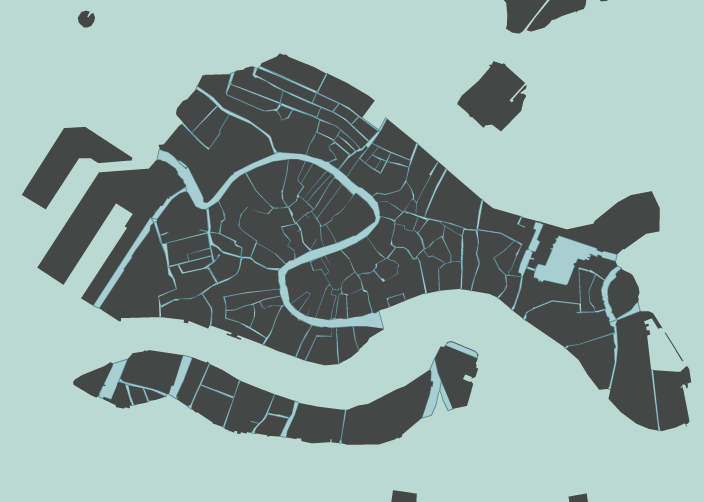
A map of all the canals; this is just a placeholder until we can get an embedded GIS map in here.
File history
Click on a date/time to view the file as it appeared at that time.
| Date/Time | Thumbnail | Dimensions | User | Comment | |
|---|---|---|---|---|---|
| current | 13:08, 8 March 2025 | | 704 × 502 (90 KB) | Maintenance script (talk | contribs) | (recovered file, missing upload log entry) |
You cannot overwrite this file.
File usage
There are no pages that use this file.