Ponte S. Marziale
 | |
| Basic Information | |
| Bridge Code | |
| Zucchetta Number | |
| Canal Crossed | |
| Handicapped Accessible? | |
| Length (m) | |
| Width (m) | |
| Minimum Height (m) | |
| Latitude (°) | |
| Longitude (°) | |
| Private | |
| Crooked Bridge? | |
Overview of Bridge
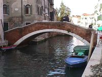
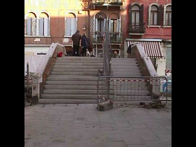
The Ponte S. Marziale was built primarily using Mattoni e Pietra d'Istria. It crosses the Rio de la Misericordia bridging a gap which is 10.73 meters. The bridge is not a crooked bridge. On the northern side of the bridge is the sestiere of Cannaregio and on the southern side is also Cannaregio .There are 2 ramps. On the north side there are 13 steps, on the south side there are 12 steps. This results in a total of 25 steps. The height of a typical step is 13 meters, the thickness of a step is about 41 centimeters, and the width of a step is about 4.4 meters.The steps are paved with Trachite. The bridge is not handicapped accessible and it does not have an additional railing. The summit is 4.4 meters wide and 3.73 meters in length for a total area of about 16.41 meters. The summit is paved with Trachite. Also, this bridge has 1 arch. The bridge's Piena railing is made of Mattoni e Pietra d'Istria and is about 28.00 meters wide is about 0.78 meters tall. Finally, the bridge protrudes 1.1 meters to the North and 1.4 meters to the South.
History
The following is any history we have regarding the bridge's origins:
. It is said that the church of S. Martial, \vulgo S. Marcilian, \was erected in 1133 by the family Bocchi on a tract of land dried up from the eighth century by the family Dardanians, and soon formed parish. It was renovated in 1693 and consecrated in 1721. He became famous for a statue of the Blessed Virgin who, according to tradition, made by a pastor of Rimini, and placed in a boat at the discretion of the waves, came in 1286 to the shores of this church, and was placed in it coll'intervento the prince and the Senate. This church now ceased to be a parish, having been designed for this purpose the other church of Our Lady of the Garden.
Location
The bridge is located at the following coordinates:
Latitude: 45.4440524° N
Longitude: 12.33283° E